Offline field maps

Offline GPS on your GeoPDFs.

Turn the georeferenced maps you already use — CalTopo, USGS, Forest Service, any GeoPDF — into a live GPS map in your pocket. See exactly where you are, even with no signal.

Coming soon to the App Store See how it works

No account. No subscription. Your maps and data stay on your device.
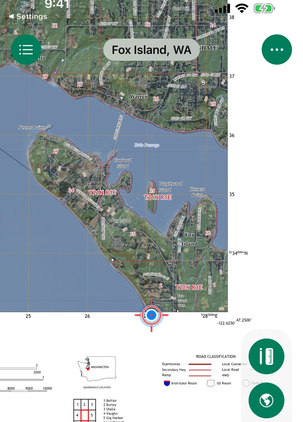
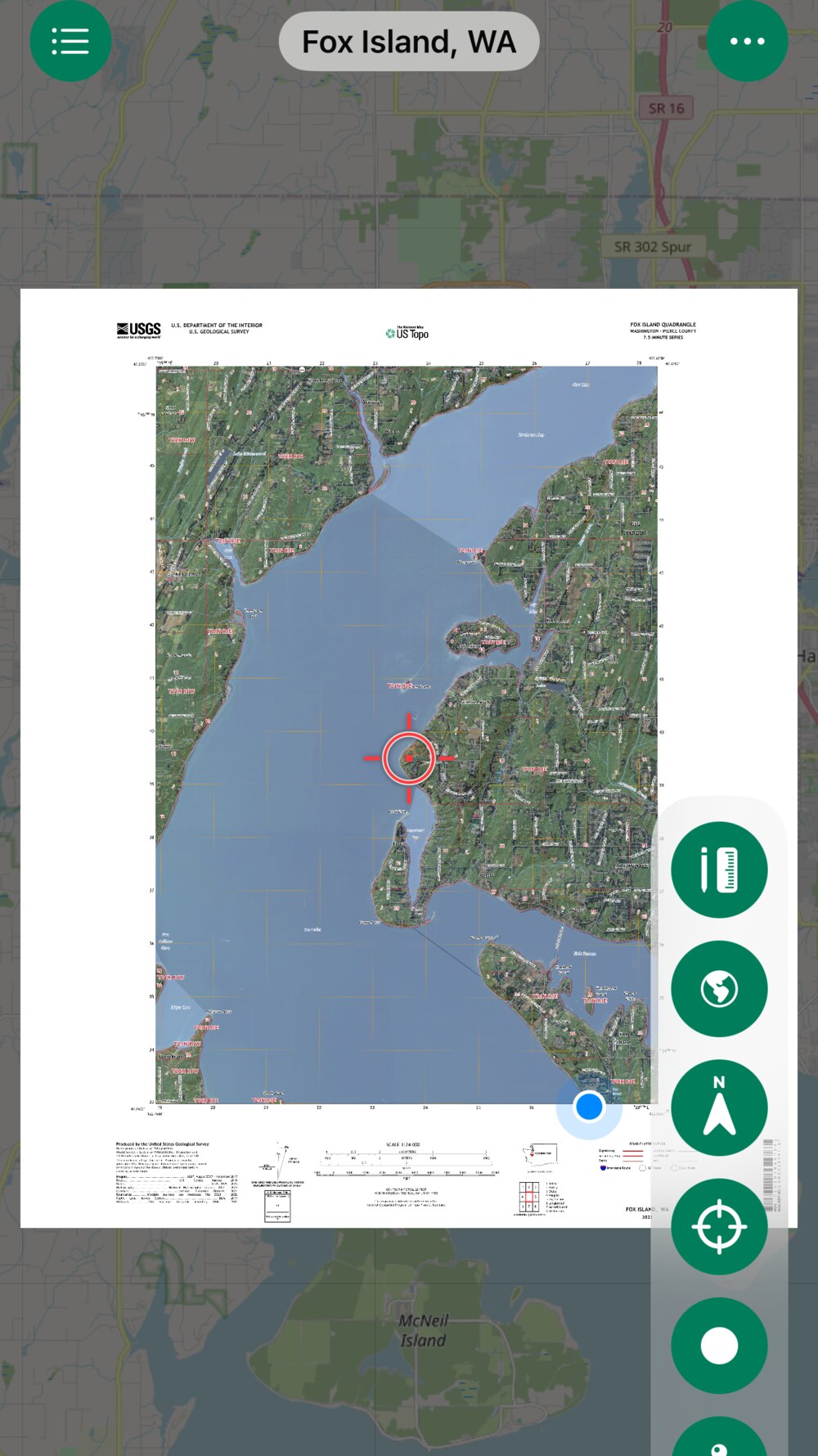
Neatline showing your live location on a USGS topo map of Fox Island, WA
Works with no signalMaps & GPS run fully offline.
Your own mapsAny georeferenced PDF — CalTopo, USGS, USFS.
Nothing leaves your phoneNo account, no tracking, no cloud.

Everything you need in the field.

Built for hiking, hunting, and the backcountry — where the map matters and the signal doesn't reach.

Blue location dot with heading arrow on a topo map
You are here

See yourself on your own maps

A blue dot with a heading arrow shows where you are and which way you're facing — plotted right on the georeferenced PDF you brought. Recenter with a tap and read your exact coordinates any time.

A GeoPDF sheet floating over a dim real-world street map
Stay oriented

Your sheet, in the real world

A dim live street map sits behind your map sheet so you always know where it fits in the wider world — then disappears when you don't need it. Everything you've loaded works with no connection.

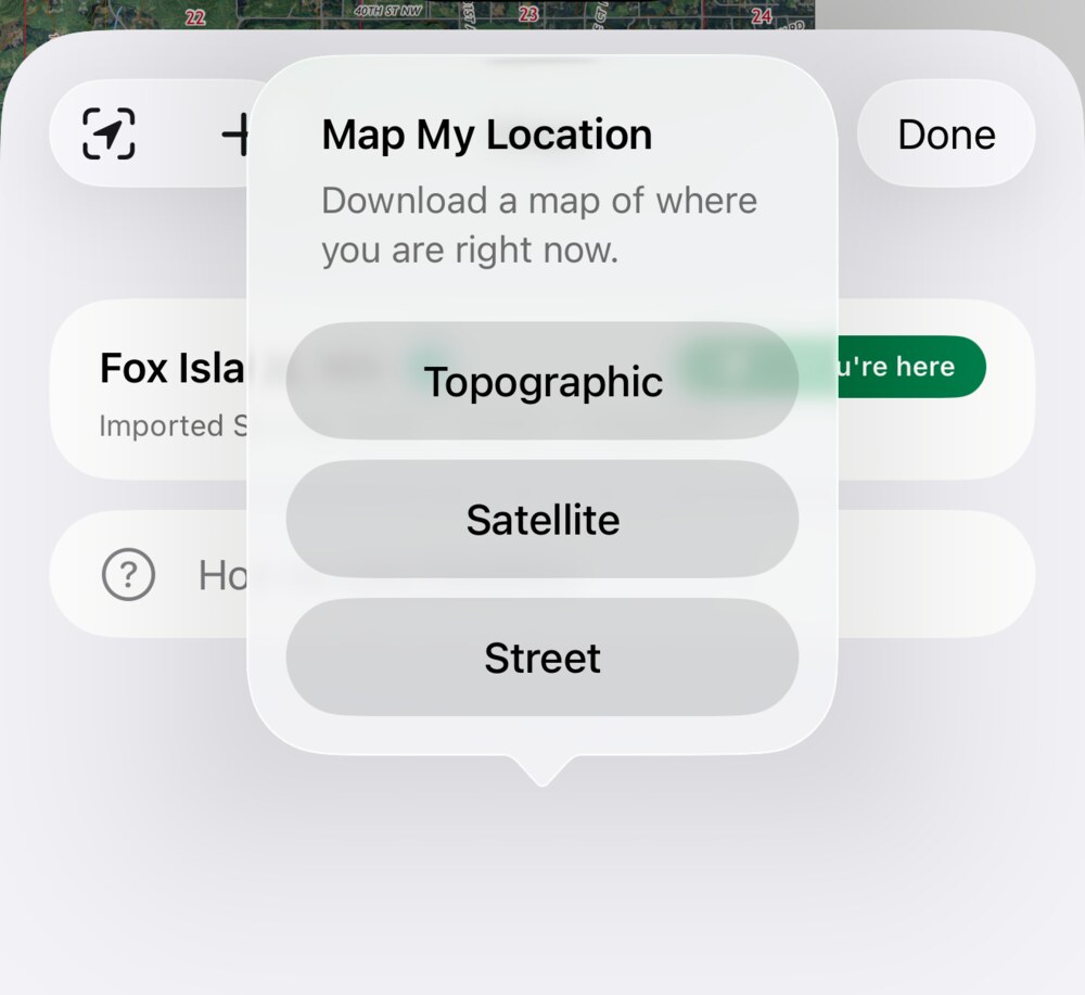
Map My Location options: Topographic, Satellite, Street
Make a map anywhere

No map yet? Build one on the spot

Map My Location stitches a fresh map of exactly where you're standing in seconds — topographic, satellite, or worldwide street — and saves it on your device to use offline.

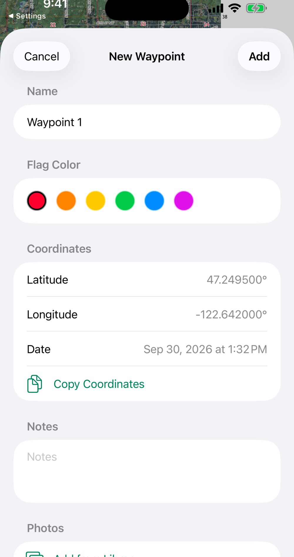
New waypoint editor with flag color, coordinates, notes and photos
Mark it up

Waypoints, tracks & measurements

Drop colored flag waypoints with names, notes, and photos. Record a track that keeps logging with your phone locked. Measure distance and area, and share or export everything as KML/KMZ.

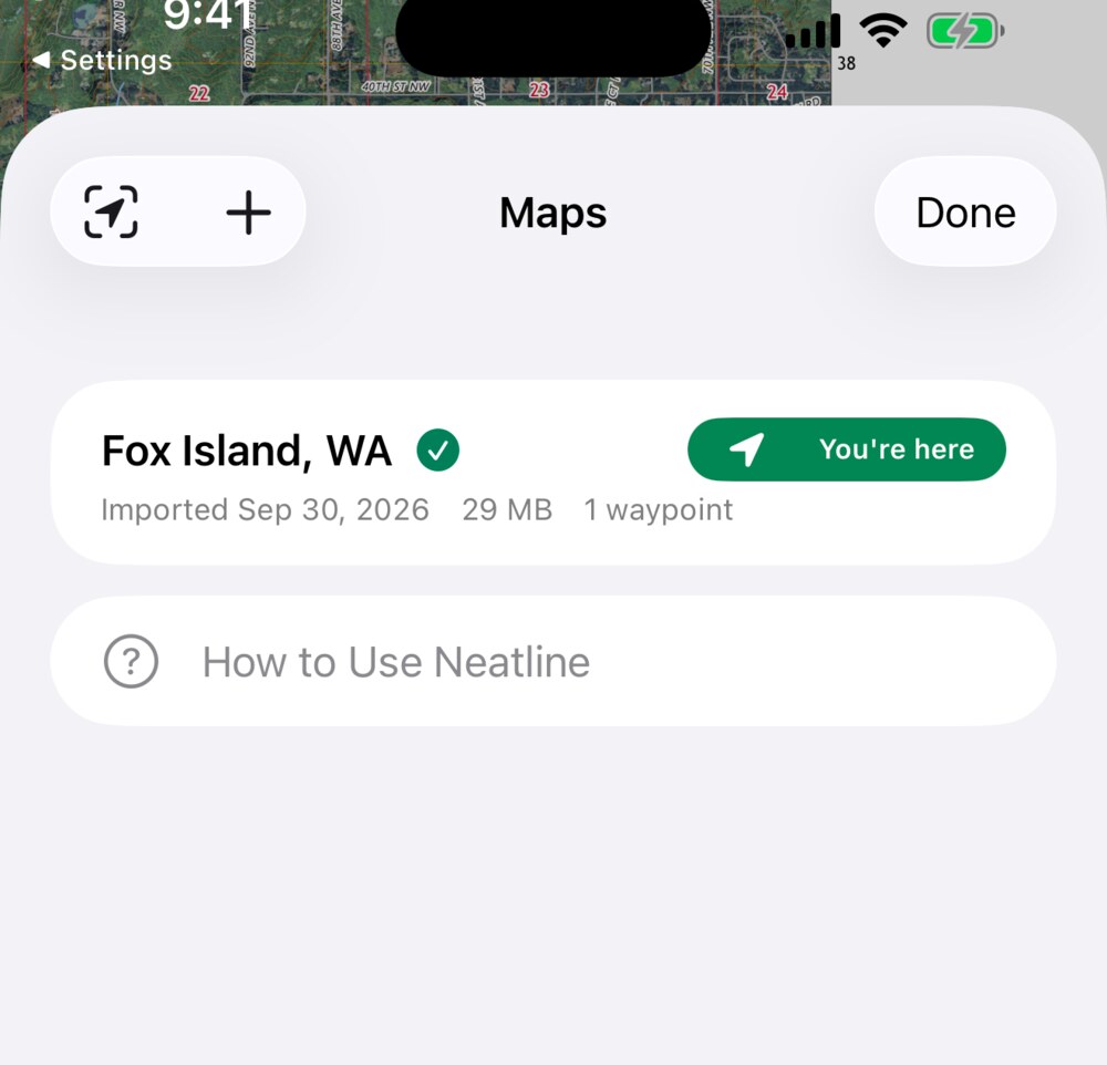
Map list showing a You're here coverage badge
Your map library

Carry every map, find the right one

Keep all your maps in one place — even huge 100 MB+ sheets. A "You're here" badge flags exactly which maps cover where you're standing, so you open the right one fast.

Your maps. Your location. No signal required.

Neatline is a one-time download with no account and no subscription.

Coming soon to the App Store